News
International Scientific Conference: 3rd GEOBENCH Workshop
26-11-2025
 On November 20–21, 2025, the international conference "3rd GEOBENCH Workshop" took place in Wrocław. It was organized by a team from the Institute of Geodesy and Geoinformatics of UPWr in cooperation with partners from Poland, Germany, and Italy. The conference focused on the validation, calibration, and testing of sensors, data, and methods used in photogrammetry and remote sensing.
 more...
Tracking the Earths Motion: A Seismogeodetic Experiment in Romania with IGiG UPWr Researchers
30-10-2025
more...NetMob Conference 2025 in Paris
27-10-2025
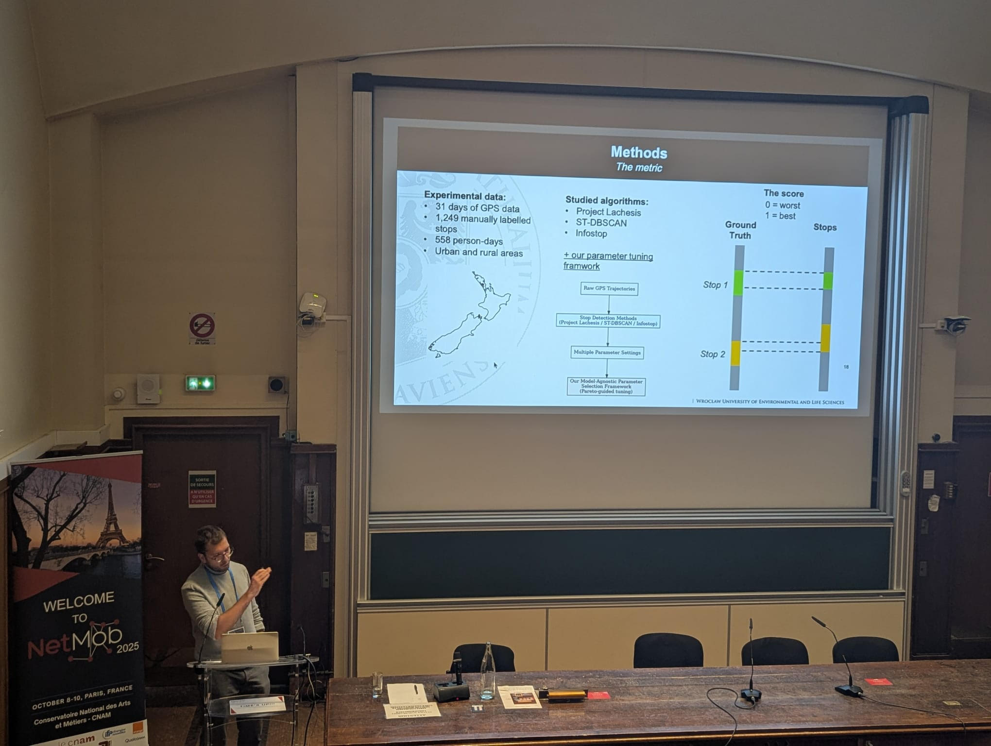 Between 8-10 October 2025, Dr. Kamil Smolak from the Institute of Geodesy and Geoinformatics at the Wrocław University of Environmental and Life Sciences took part in NetMob 2025 - the worlds leading conference on the analysis of mobile phone and mobility datasets, held at the Conservatoire National des Arts et Métiers (CNAM) in Paris, France. more...
IGiG scientific seminar - Prof. Darren Reynolds
07-10-2025
 Institute of Geodesy and Geoinformatics, Wroclaw University of Environmental and Life Sciences, is pleased to invite to a scientific seminar, where Prof. Darren Reynolds from University of the West of England in the United Kingdom will give a talk on Sensing for River Health – a 21st Century Need.
The seminar will take place on 16/10/2025 (Thursday) at 1 pm in room 018C, building C3 CDN, pl. Grunwaldzki 24A.
The seminar will be in a hybrid format. A link to the meeting: https://meet.google.com/ygq-yhiy-nbu
more...Mapping the AI weather forecasting - review powered by UPWr-UWr collaboration
29-09-2025
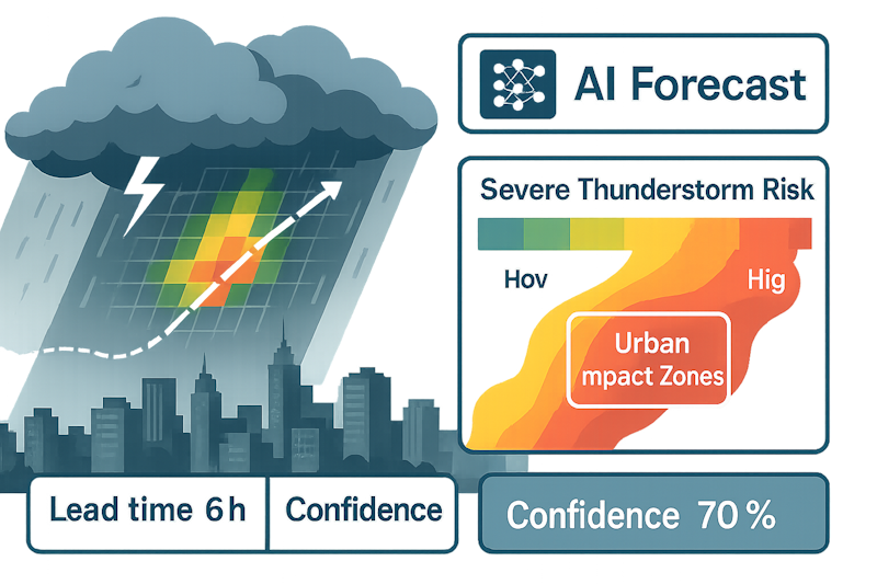 A cross-disciplinary team from Wrocław has published a concise, state-of-the-art review of AI weather models in Engineering Applications of Artificial Intelligence. The article "Beyond the horizon: A comprehensive analysis of artificial intelligence-based weather forecasting models" surveys ca. 40 systems (e.g., GraphCast, Pangu-Weather, FourCastNet), compares data, lead times, and verification practices, and pinpoints gaps. more...
Archive: « PREVIOUS PAGE | 1 | 2 | 3 | 4 | 5 | 6 | 7 | 8 | 9 | 10 | 11 | 12 | 13 | 14 | 15 | 16 | 17 | 18 | 19 | 20 | 21 | 22 | 23 | 24 | 25 | 26 | 27 | 28 | 29 | 30 | 31 | 32 | NEXT PAGE »
 |
 |
 |
 |
Contact
|
INSTITUTE OF GEODESY AND GEOINFORMATICS
Wroclaw University of Environmental and Life Sciences Grunwaldzka 53 50-357 Wroclaw NIP: 896-000-53-54, REGON: 00000 18 67 Phone +48 71 3205617 Fax +48 71 3205617 e-mail: igig@upwr.edu.pl |