| Jesteś w:Uniwersytet Przyrodniczy we Wrocławiu » Instytut Geodezji i Geoinformatyki » Aktualnosci |
Aktualności
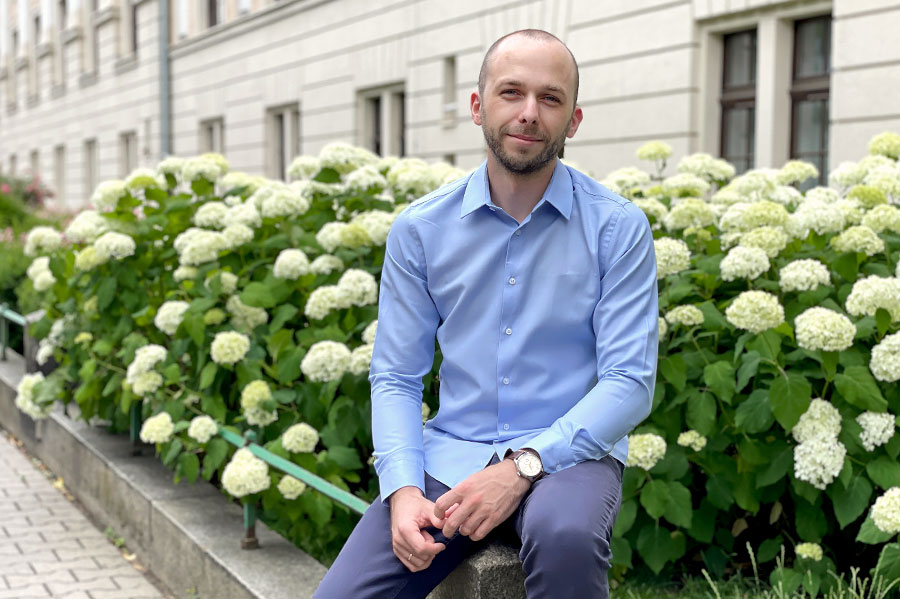
Seminarium Naukowe IGiG - Dr Paweł Hordyniec
17-04-2023
IGG ma przyjemność zaprosić Państwa na seminarium naukowe, które odbędzie się w formie hybrydowej. Główne wydarzenie odbędzie się w bibliotece IGIG (100G). Zdalnie będzie można połączyć się z nami na platformie Zoom. Prezentację zatytułowaną "Forward modeling of bending angles with a two-dimensional operator for GNSS airborne radio occultations in atmospheric rivers" przedstawi dr Paweł Hordyniec z naszego instytutu. Prezentowane wyniki są rezultatem stażu naukowego realizowanego w ramach programu NAWA im. Mieczysława Beckera, który dr Hordyniec odbył w Scripps Institution of Oceanography, University of California San Diego.
Seminarium rozpocznie się w czwartek 20 kwietnia 2023 r. o godzinie 09:00 AM (CEST).
Dołącz do spotkania Zoom: ZOOM LINK
Identyfikator spotkania: 811 427 0260
Kod dostępu: igig
Forward modeling of bending angles with a two-dimensional operator for GNSS airborne radio occultations in atmospheric rivers
Dr Paweł Hordyniec
Instytut Geodezji i Geoinformatyki, UPWr, Wrocław, Polska
Scripps Institution of Oceanography, University of California San Diego, La Jolla, CA, USA
Abstrakt:
Atmospheric River Reconnaissance (AR Recon) campaigns collect targeted observations of significant winter weather events contributing to long duration heavy precipitation and flooding on the U.S. West Coast. Observations over the east Pacific Ocean from weather buoys together with dropsonde measurements are supported by atmospheric soundings from GNSS airborne radio occultation (RO) technique serving as key datasets for studying vertical moisture structures in such frontal systems. The airborne radio occultation technique originates from its spaceborne counterpart that has already established value for numerical weather prediction by being routinely assimilated into global models. However, an observation operator needs to be developed to allow assimilation of geophysical variables from airborne occultations in order to improve forecasts of atmospheric rivers. This capability has been achieved by modifying existing state-of-the-art forward operator for spaceborne RO provided in the forward module of ROM SAF Radio Occultation Processing Package (ROPP) thus opening wide range of applications for operational meteorology from airborne platform. Due to significant inhomogeneities associated with atmospheric river events, the operator assumes that the atmosphere has a two-dimensional (2D) structure which is generally a more complex and computationally demanding solution. The developed algorithm allowed to assess measurement uncertainties which is otherwise difficult to achieve since properties of the atmosphere in the RO technique are expressed in terms of bending angle parameter - an unconventional observable for meteorology. The estimation of observation error model is important for the quality control screening in data assimilation systems. The assessment based on meteorological information sourced from ECMWF fields suggests that the agreement in terms of observed minus background statistics for datasets collected during intensive operating periods is on the order of 10 % at the altitude of 4 km and around 4 % at 10 km. Simulations from the 2D operator were compared with outputs from a spherically symmetrical atmosphere (1D) resulting in mismodeling errors on the order of 20 % in the lowermost troposphere further supporting the advantage of more sophisticated approaches for a realistic representation of atmospheric river environments. The developed airborne RO observation operator will be used in data assimilation experiments in the framework of new emerging initiatives such as the Joint Effort for Data assimilation Integration (JEDI) led by the Joint Center for Satellite Data Assimilation (JCSDA) with various observation operators available for the users.
Key words: airborne, forward model, observation operator, bending angle
 powrót do poprzedniej strony
 |
 |
 |
 |
 |
Nasze konferencje
 ESA 9th International Colloquium on Scientific and Fundamental Aspects of GNSS ESA 9th International Colloquium on Scientific and Fundamental Aspects of GNSSWROCŁAW, 25 - 27 września 2024 |
|
|
|
2th Advanced Training Course On Land Remote Sensing Hydrology and Hazards WROCŁAW, 25 - 29 września 2023 |
|
18th Czech-Polish Workshop - ON RECENT GEODYNAMICS OF THE SUDETY MTS. AND ADJACENT AREAS SZKLARSKA PORĘBA, 26 - 28 października 2017 |
|
XX Ogólnopolskie Sympozjum Fotogrametryczne | Fotogrametria dla geoinformacji Wrocław, 19 - 21 września 2016 |
|
16th Czech-Polish Workshop ON RECENT GEODYNAMICS OF THE SUDETY MTS. AND ADJACENT AREAS Srebrna Góra, 5 - 7 listopada 2015 |
|
COST "GNSS4SWEC - Advanced Global Navigation Satellite Systems tropospheric products for monitoring severe weather events and climate monitoring". Wrocław, 29 września - 1 października 2015 |
|
Satelitarne metody wyznaczania pozycji we współczesnej geodezji i nawigacji Wrocław, 02-04 czerwca 2011 |
Kartka z kalendarza
|

Kontakt
|
INSTYTUT GEODEZJI I GEOINFORMATYKI
Uniwersytet Przyrodniczy we Wrocławiu ul. Grunwaldzka 53 50-357 Wrocław NIP: 896-000-53-54, REGON: 00000 18 67 tel. +48 71 3205617 fax +48 71 3205617 e-mail: igig@upwr.edu.pl |